Real-Time SOS Dispatch
Live Multi-Unit GPS Tracking
Command Center Dashboard
Cross-Platform PWA & APK
Key Features and Advantages
SUB-SECOND EMERGENCY SOS ALERTS
Citizens can instantly trigger geo-located SOS alerts with live photos and GPS coordinates during emergencies.
UNIFIED CITY & MUNICIPAL HQS & MULTI-AGENCY DISPATCH
Centralized command board bridging PNP, BFP, CDRRMO, LTO, and City Health Office into a single tactical node.
GEO-TARGETED BARANGAY BROADCASTS
Send location-specific emergency warnings by barangay, zone, or radius with zero notification delays.
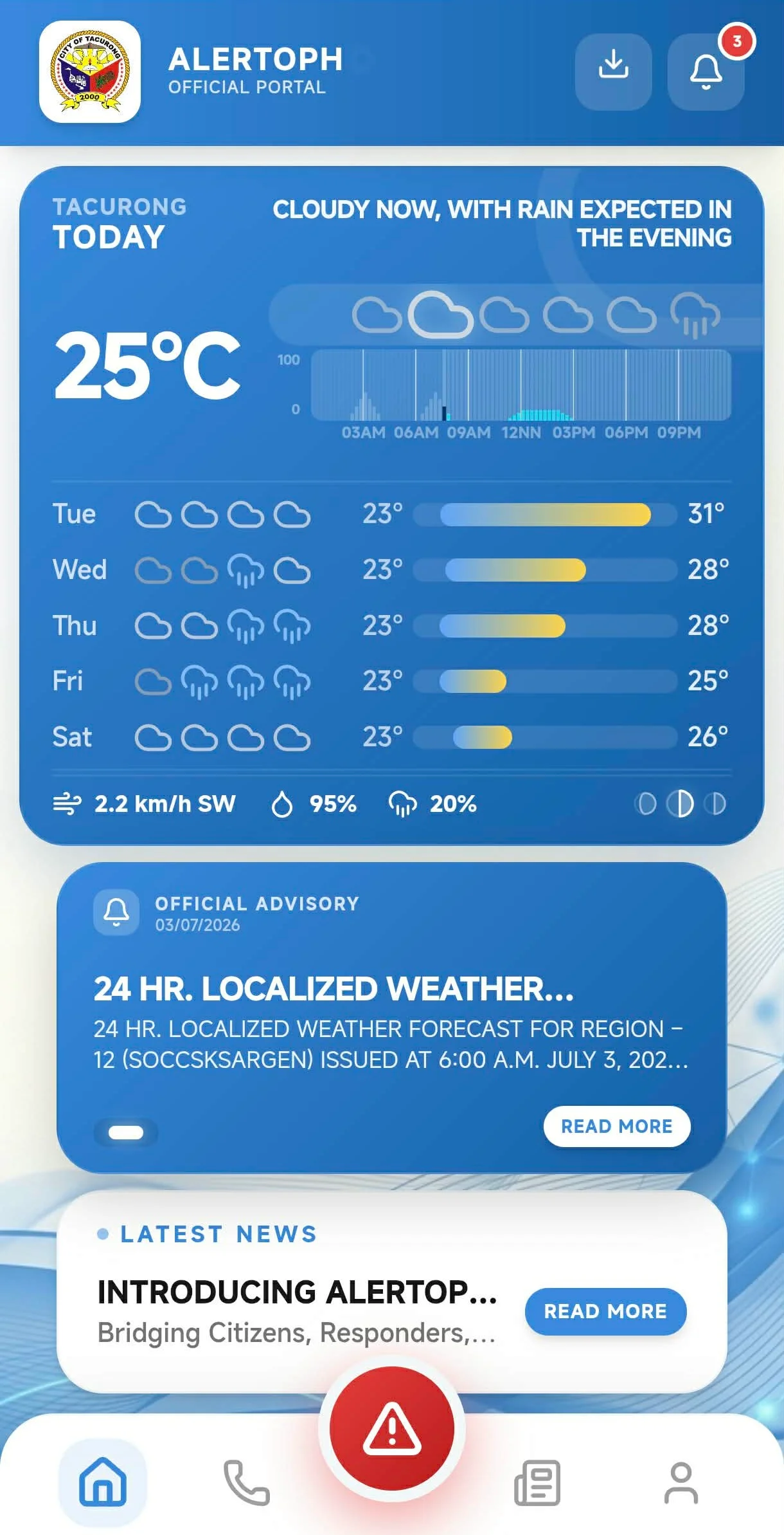
RESPONDER MAP ROUTE NAVIGATION
Turn-by-turn GPS route navigation for field responders with real-time incident location guidance and nearest unit dispatch.
DATA PRIVACY PRINCIPLES & VERIFICATION
Adheres to Data Privacy Act 3 general principles (Transparency, Legitimate Purpose, Proportionality), ensuring data & IDs are stored securely.
LIVE MULTI-UNIT GPS TRACKING MAP
Track active responder vehicles, patrol units, and emergency crews on interactive Leaflet maps with speed & heading telemetry.
Technical Specifications & Standards
Robust engineering standards designed for real-world municipal reliability.
Interactive Leaflet GIS & Route Navigation
Interactive Leaflet GIS map with turn-by-turn GPS route navigation and live vehicle telemetry for field responder teams.
Data Privacy Act 3 General Principles
Adheres to Transparency, Legitimate Purpose, and Proportionality, ensuring citizen data and identification details are protected and stored securely.
Hono Edge API & Cloudflare Workers
Sub-second API routing with globally distributed Cloudflare edge workers guarantees zero lag during high-concurrency disaster alerts.
Capacitor Native Android APK
Seamless cross-platform build pipeline providing PWA web access and downloadable native Android packages for field hardware.