Centralized Incident Response & Real-Time SOS Dispatch
Empowering City & Municipal Command Centers, PNP, BFP, CDRRMO, LTO, and City Health Offices with live GPS multi-unit tracking, geotargeted alerts, and verified emergency streams.

Keep People Safe & Informed
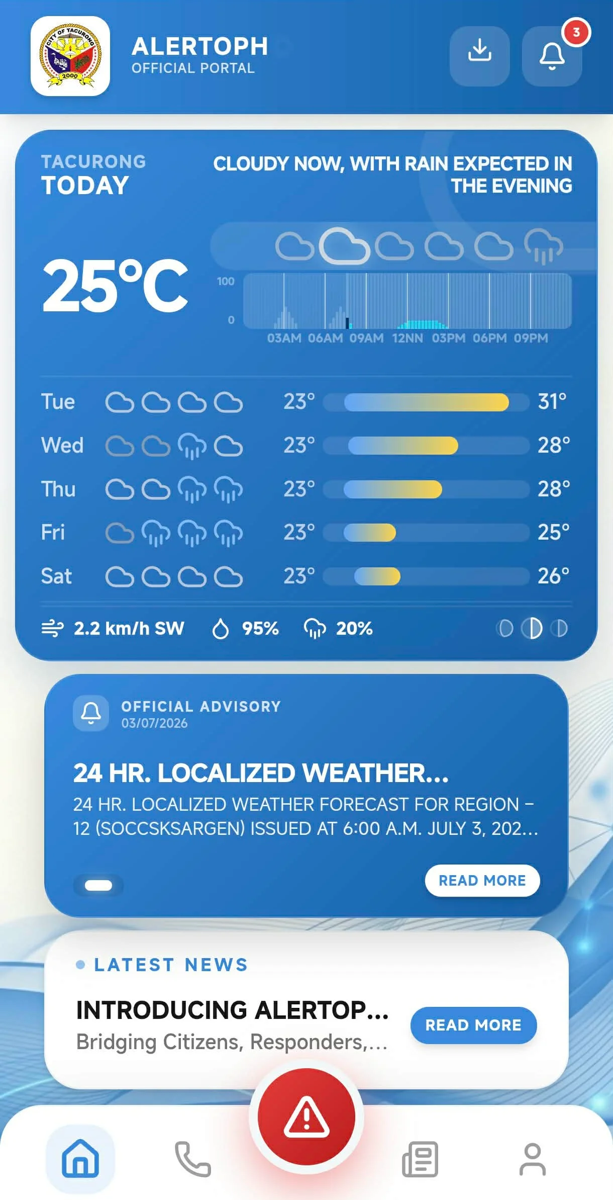
At AlertoPH, we are committed to ensuring that communities stay informed and prepared when it matters most. Our platform provides real-time emergency notifications, disaster risk reduction resources, and seamless communication tools bridging citizens with municipal command centers across the Philippines.
Key Features and Advantages
SUB-SECOND EMERGENCY SOS ALERTS
Citizens can instantly trigger geo-located SOS alerts with live photos and GPS coordinates during emergencies.
UNIFIED CITY & MUNICIPAL HQS & MULTI-AGENCY DISPATCH
Centralized command board bridging PNP, BFP, CDRRMO, LTO, and City Health Office into a single tactical node.
GEO-TARGETED BARANGAY BROADCASTS
Send location-specific emergency warnings by barangay, zone, or radius with zero notification delays.
RESPONDER MAP ROUTE NAVIGATION
Turn-by-turn GPS route navigation for field responders with real-time incident location guidance and nearest unit dispatch.
DATA PRIVACY PRINCIPLES & VERIFICATION
Adheres to Data Privacy Act 3 general principles (Transparency, Legitimate Purpose, Proportionality), ensuring data & IDs are stored securely.
LIVE MULTI-UNIT GPS TRACKING MAP
Track active responder vehicles, patrol units, and emergency crews on interactive Leaflet maps with speed & heading telemetry.
“The live multi-unit GPS tracking and instant incident map have completely transformed how our operations center dispatches teams. Seeing responder locations and citizen reports in real time cut our emergency response times dramatically.”
“Managing emergency dispatch used to mean dealing with incomplete information and vague locations. With AlertoPH, citizen incident reports arrive with exact GPS coordinates and photo evidence, allowing us to coordinate PNP, BFP, and medical teams seamlessly.”
“In times of severe weather and local disasters, having a single reliable platform for verified city advisories and direct incident reporting makes all the difference. Our communities feel safer knowing their emergency alerts reach the command center instantly.”